Barbara Meneley |
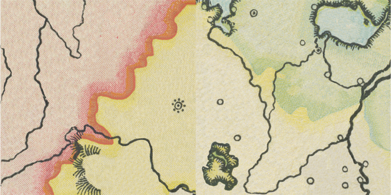
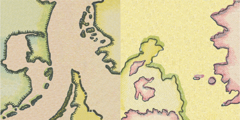
But One Empire digital print on canvas Each section is an abstraction of a map from an atlas published by the Canadian government in 1901. Intended as a settler recruitment tool, The Canadian Atlas was distributed free to British school children. The maps contained in the atlas are contrived to enhance perceptions of similarity between European and colonial lands. Through a process of abstraction, maps intended to facilitate settlement lose their power to claim. Without land borders or names, the maps are reduced to their aesthic elements. |
 |
 |
| © Barbara Meneley, all rights reserved |